
Many of us have probably used a trail at some point in our lives. It’s a pretty simple concept—getting from point A to point B using a safe and designated place to travel besides a road designed for automobiles. They vary in size, location, purpose, and what kinds of services they connect from community to community as well as in their rates of success. Measuring success can be tricky, though, and can include anything from increased property values, to the amount of people using the trail, to economic development, to increased tourism, etc.
Starting yesterday, there is a study being conducted throughout Indiana trails by the Eppley Institute for Parks and Public Lands, to “gather data on health factors related to trail use and their economic impact” (Source). Trails are something which many communities are interested in as placemaking efforts and something residents can usually support because of the beautification impacts on a community and the accessibility of usage for them. Studying trails around Indiana, though, and correlating them directly to economic development and an increase in usage would help convince other communities and their residents that trails are worthwhile investments. Trails must be planned and created intentionally to leverage support and achieve the desired outcomes.
The trails which are going to be studied are the:
- Nickel Plate Trail (Peru)
- Rivergreenway (Fort Wayne)
- Erie Lackawanna Trail (Northwest Indiana)
- Pumpkinvine Nature Trail (Elkhart and LaGrange counties)
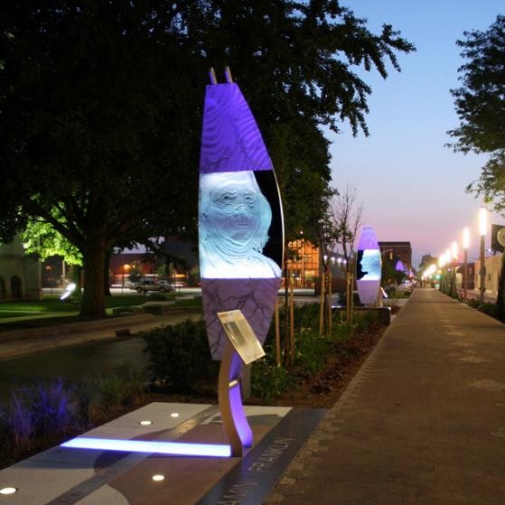
- Monon Trail (Indianapolis and Carmel)
- Cardinal Greenway (Marion to Muncie to Richmond)
- Pigeon Creek Greenway Passage (Evansville)
- People Trail (Columbus) and
- B-Line Trail (Bloomington)

The Nickel Plate Trail in Peru, IN, has a bridge over the Wabash River. Source: railstotrails.org

The B-Line Trail includes this striking blue arch over part of the trail. Source: heraldtimesonline.com
The Indianapolis Cultural Trail is one example which is brought up in many discussions about the economic impact of trails in cities. The number which was released in the summer of 2015 was that over the 8 miles of trails from 2008-2015, “property assessment within approximately one block of the eight mile trail have increased 148%…an increase of $1 billion in assessed property value” (Source). It is slightly different since it is in the heart of the state capital and a state of the art trail, but the number is astonishing and should peak other city’s interests as to what they can do with trails in their own communities.
Connecting points of interest is a very important aspect of community trails: ones which do not connect anchor sites such as restaurants, cultural areas, retail, universities, etc., even if they are exceptionally well-done, will not attract high amounts of users like trails which connect anchor sites such as restaurants, cultural areas, retail, universities, etc. Trails can also become places of culture and art themselves, increasing the number of people who want to be there like on the Indianapolis Cultural Trail where there are numerous works of art which encourage people to stop and spend time admiring them.
The Glick Peace Walk along the Cultural Trail in Indianapolis encourages people to take their time and enjoy the trail. Source.
The Institute is planning on taking data four times for a week at a time in April, June, August, and October this year. Using surveys from “trail users, a control group of non-trail users and nearby property owners” as well as trail counters, the Institute will be able to inform “future trail development, operations and maintenance efforts” (Source).
This study may be able to help communities all over Indiana and surrounding states put their trails to better use and create places people want to be in as well as leveraging economic development dollars for the surrounding businesses in the area and the overall health of the community.
Main Photo Source: Seattle Department of Transportation
